Click for Mantorville, Minnesota Forecast

Navigation

LakesnWoods.com
  Home
Page
  Contact Us
  Privacy 


Uffda Minnesota License plate Cap
(design available on over 100 different items!)

LakesnWoods.com Store


Minnesota Map Large Framed Print
(design available on over 100 different items!)

LakesnWoods.com Store


Minnesnowta Large Mug
(design available on over 100 different items!)

LakesnWoods.com Store


Dodge County Minnesota


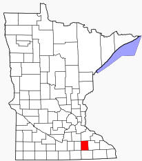
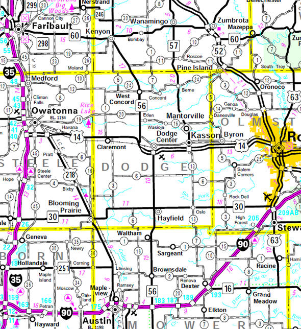
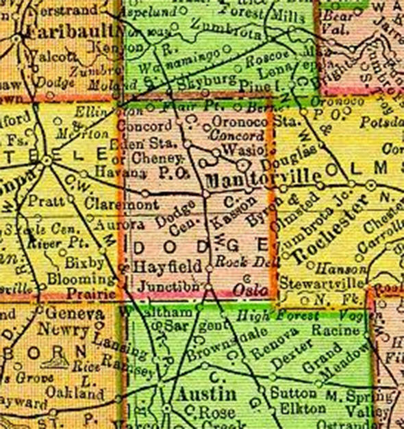
Dodge County is a county located in the U.S. state of Minnesota. The population was 17,731 as of the 2000 census. Its county seat is Mantorville. Dodge County is part of the Rochester, MN Metropolitan Statistical Area.

Dodge County was originally inhabited by Native Americans, as many counties in Minnesota were. This area was a common hunting and battle ground for the Mdewakanton Sioux, often fighting the Sauk and Fox Indians who had wandered into their territory. The first white person to visit Dodge County, however, is not known. It is believed by some that a French fur trader from Canada was the first, setting foot on its soil in the spring of 1655. Guides deemed this area unsafe due to the Natives living there. But, it was not until over two hundred years later that the locality truly came to life.

Location of Dodge County Minnesota


It was in 1853 that government surveyors set lines for the townships. A year later, the Mantor brothers, along with Eli P. Waterman, established their claims, which would later be an important town to the area known as "Mantorville." Still a year later, in 1855, Dodge County was organized for local government. In the first few years of growth, its main settlers were Germans and people of Scandinavian descent, mostly Norwegians. With increasing growth and improvement, Dodge County was officially placed in the Fifth Judicial District by the State Constitution on May 11, 1858. Its name, given in honor of Wisconsin governor Henry Dodge, lives on with pride for its colorful past. The Dodge County Courthouse, designed by E. Townsend Mix and built of locally quarried limestone in 1865, is the oldest working courthouse in Minnesota.

According to the U.S. Census Bureau, the county has a total area of 440 square miles (1,139 kmē), of which 440 square miles (1,138 kmē) is land and 0 square miles (0 kmē) (0.03%) is water.

Official Dodge County website


Dodge County Communities
Blooming Prairie Dodge Center Kasson West Concord
Claremont Hayfield Mantorville  


Minnesota State Highway Map

Minnesota State Highway Map of the Dodge County Minnesota area


1895 Map of Dodge County

1895 Map of Dodge County Minnesota


LakesnWoods.com    Home
Page    Contact Us    Privacy


Đ 2004 Lakeweb1 Internet Services
All Rights Reserved