Navigation LakesnWoods.com
Home
Page
Contact Us
Privacy
Minnesota History Shop
Visit The Minnesota History Shop
www.minnesotahistoryshop.com
Historic maps
Historic books
Historic framed art Historic
postcards
Clothing with historic
images And much more!!! |
Beaver Creek Guide:
Photo Gallery
Location
Geography
Demographics
History
Government
Post Office
News
Weather
Street Map
Events
Attractions
Recreation
Lakes
Health Care
Schools
Churches
Media
Motels
Resorts
Campgrounds
Businesses
Aerial Photo
Topographic
Map © 2004-2022 Lakeweb1 Internet Services
All Rights Reserved
DCMA, Defamation, Copyright and Trademark Infingement Policy
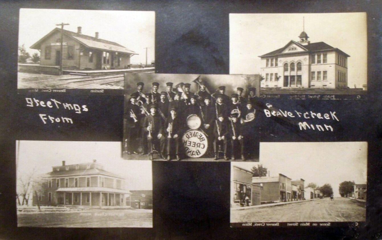
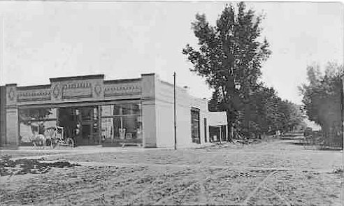
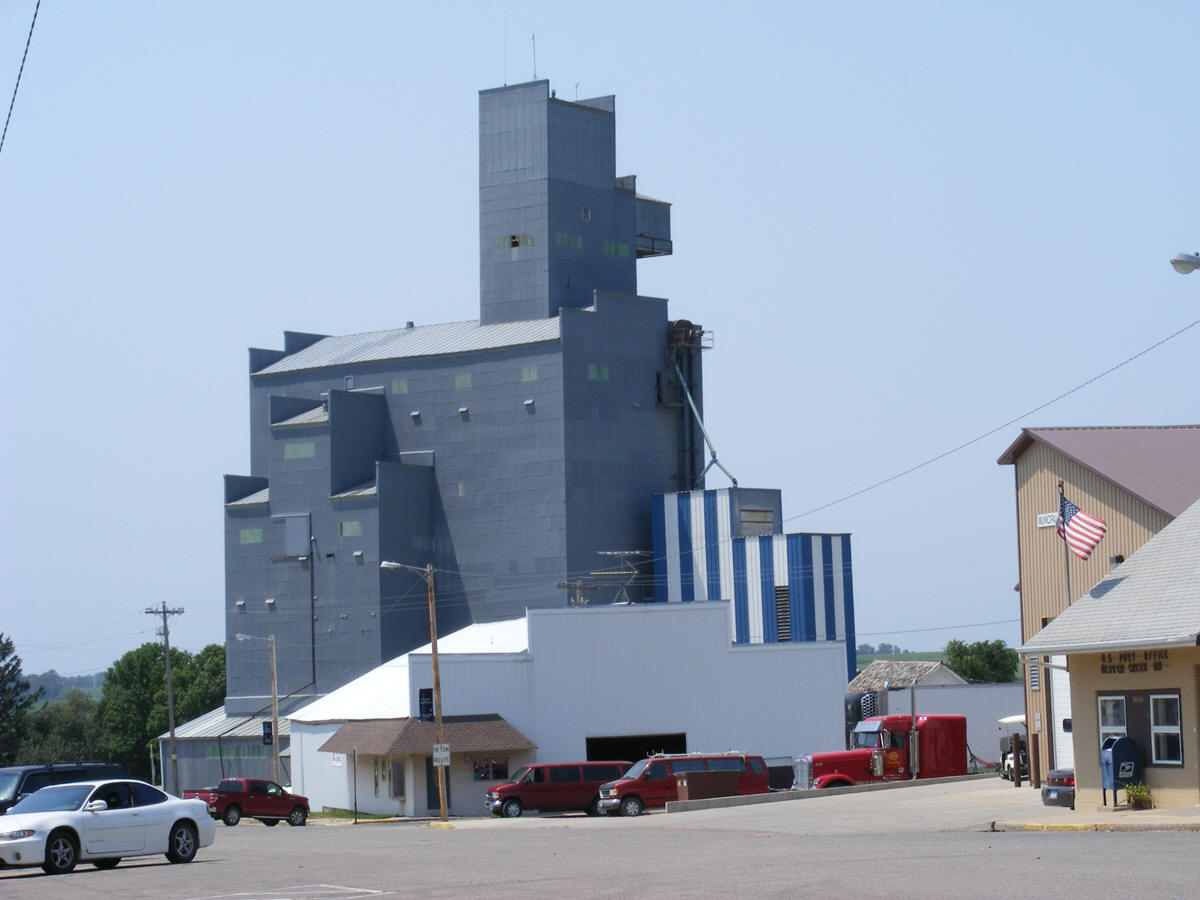
WANTED! Do you have photos, historical accounts or other
items pertaining to the Beaver Creek area? Would you like to share this
historical information with the world? LakesnWoods.com would like
to publish your Beaver Creek photos (current or historical) or historical
accounts on this website. Original materials can be returned and
your privacy will be respected.
Contact us |
|
Beaver Creek Minnesota Gallery

Public School, Beaver Creek Minnesota, 1910s
LakesnWoods.com Postcard and Postcard Image Collection - click to enlarge |

Hotel Eureka, Beaver Creek Minnesota, 1910s
LakesnWoods.com Postcard and Postcard Image Collection - click to enlarge |

Railroad depot, Beaver Creek Minnesota, 1910s
LakesnWoods.com Postcard and Postcard Image Collection - click to enlarge |

Presbyterian Church, Beaver Creek Minnesota, 1910s
LakesnWoods.com Postcard and Postcard Image Collection - click to enlarge |

Multiple scenes, Beaver Creek Minnesota, 1911
LakesnWoods.com Postcard and Postcard Image Collection - click to enlarge |

Street scene, Beaver Creek Minnesota, 1913
LakesnWoods.com Postcard and Postcard Image Collection |
 |
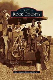
Rock County (Images of
America) |
Rock County, located in the
southwest corner of Minnesota, is proud to share its history
through a pictorial journey of settlement, growth, and
development. The county is, and has always been, an
agricultural community. One of its outstanding features is
the Sioux Quartzite cliff line visible to settlers who moved
in or came through the area as well as today's residents and
visitors. The cliff line is 120 feet high and stretches for
about two miles. It was formed through the early glacier
period and travels northwest through Rock County, past the
South Dakota border, before going back underground. The rock
was quarried and used in many of the homes and businesses in
Luverne and other Rock County communities. |
Buy This Book Now! |

Welcome sign, Beaver Creek Minnesota, 2012
LakesnWoods.com Photo -
click image to enlarge |

Water Tower, Beaver Creek Minnesota, 2012
LakesnWoods.com Photo -
click image to enlarge |

Municipal Building, Beaver Creek Minnesota, 2012
LakesnWoods.com Photo -
click image to enlarge |

Hills Beaver Creek Elementary School, Beaver Creek
Minnesota, 2012
LakesnWoods.com Photo -
click image to enlarge |

First Presbyterian Church, Beaver Creek Minnesota, 2012
LakesnWoods.com Photo -
click image to enlarge |

US Post Office, Beaver Creek Minnesota
LakesnWoods.com Photo -
click image to enlarge |

Grain elevator, Beaver Creek Minnesota, 2012
LakesnWoods.com Photo -
click image to enlarge |

Street scene, Beaver Creek Minnesota, 2012
LakesnWoods.com Photo -
click image to enlarge |
|
|