Click for Mahnomen, Minnesota Forecast

Navigation

LakesnWoods.com
  Home
Page
  Contact Us
  Privacy


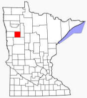
Mahnomen County Minnesota


As of the census of 2000, there were 5,190 people, 1,969 households, and 1,366 families residing in the county. The population density was 9 people per square mile (4/km˛). There were 2,700 housing units at an average density of 5 per square mile (2/km˛). The racial makeup of the county was 62.85% White (3262 people) 0.13% Black or African American (7 people), 28.55% Native American (1482 people), 0.06% Asian (3 people), 0.31% from other races (16 people), and 8.09% (420 people) from two or more races. 0.89% of the population (46 people) were Hispanic or Latino of any race. 29.4% (1525 people) were of German and 17.0% (882 people) Norwegian ancestry according to Census 2000.


Mahnomen County Communities
Bejou Mahnomen Naytahwaush Waubun


Mahnomen County Commissioners

District Name Address Telephone
1      
2      
3      
4      
5      

County Offices Directory

Department Name & Address Telephone


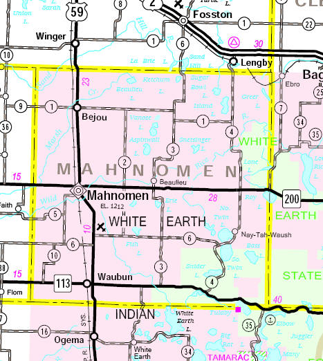
Minnesota State Highway Map

Minnesota State Highway Map of the Mahnomen County area


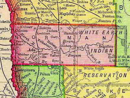
1895 Map of the Mahnomen County area

[In 1895, the present-day Mahnomen County was part of Norman County]

1895 Map of the Mahnomen County area


LakesnWoods.com    Home
Page    Contact Us    Privacy


© 2004 Lakeweb1 Internet Services
All Rights Reserved