Navigation
LakesnWoods.com
Home
Page
Contact Us
Privacy
Minnesota History Shop
Visit The Minnesota History Shop
www.minnesotahistoryshop.com
Historic maps
Historic books
Historic framed art
Historic
postcards
Clothing with historic
images
And much more!!! |
McNair Guide:
Photo Gallery
Location
Geography
Demographics
History
Government
Post Office
News
Street Map
Events
Attractions
Recreation
Lakes
Health Care
Schools
Churches
Media
Motels
Resorts
Campgrounds
Businesses
Aerial Photo
Topographic Map © 2004-2025
LakesnWoods LLC
All Rights Reserved
DCMA, Defamation, Copyright and Trademark Infingement Policy
|
WANTED! Do you have photos, historical accounts or
other items pertaining to the McNair area? Would you like to
share this historical information with the world? LakesnWoods.com would like to publish your
McNair photos
(current or historical) or historical accounts on this website.
Original materials can be returned and your privacy will be
respected.
Contact us |
|
McNair Minnesota Community Guide
Location:
Population:
unincorporated
Geography:
From
Wikipedia, the free
encyclopedia.
Demographics:
History:
MCNAIR, a station on the Duluth and Iron Range
Railroad in section 24 of T. 56N, R. 11W (Waldo). Courtesy
Minnesota Historical Society
Government:
Post Office:
Post Office
Phone:
Toll Free: (800) ASK-USPS |
|
Business Hours
| Weekdays |
08:30-12:15PM 12:45-04:00PM |
| Saturday |
09:30-10:30AM |
|
Last Daily Collection
| Weekdays |
04:00PM |
| Saturday |
03:00PM |
|
|
News:
Weather:
Map:
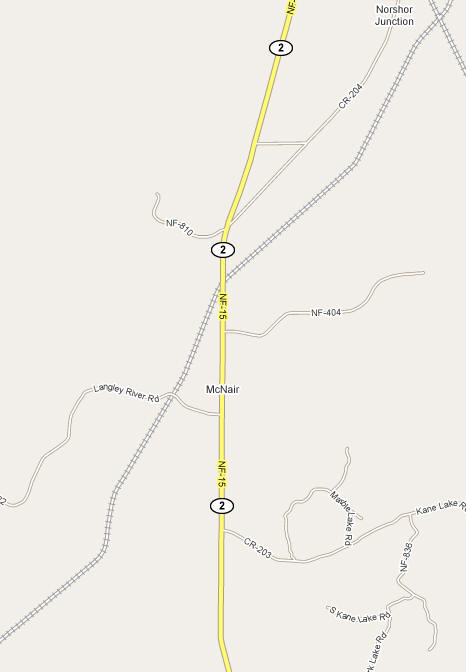
Courtesy Google Maps -
Click map
to zoom or enlarge
Events:
Attractions:
Recreation:
Lakes:
|
Lake Name |
Size
(acres) |
Location |
Lake info |
Lake Map |
Rec Map |
Topo Map |
| |
|
|
 |
 |
 |
 |
| |
|
|
 |
 |
 |
 |
Health
Care:
Schools:
Churches:
Media:
Motels:
Resorts:
Businesses:
Aerial Photo: [click photo to enlarge, zoom in or zoom out]
|
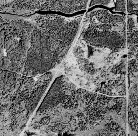
Courtesy Google Maps -
Click map to zoom or enlarge
Topographic Map:
[click map to enlarge, zoom in or zoom out]
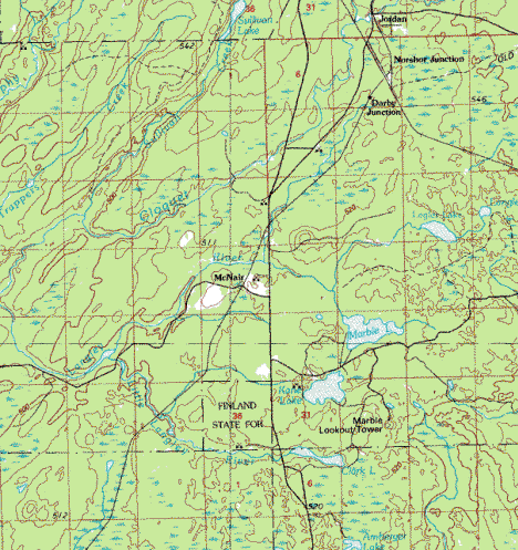
Topographic map is courtesy of the Minnesota DNR
-
click map to zoom or enlarge |
|
|


