Click for Slayton, Minnesota Forecast

Navigation

LakesnWoods.com
  Home
Page
  Contact Us
  Privacy


Uffda Minnesota License plate Cap
(design available on over 100 different items!)

LakesnWoods.com Store


I Love Minnesota
Hooded Sweatshirt

(design available on over 100 different items!)

LakesnWoods.com Store


Minnesota Map Mug
(design available on over 100 different items!)

LakesnWoods.com Store

 
Murray County Minnesota


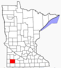
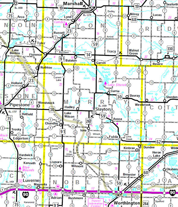
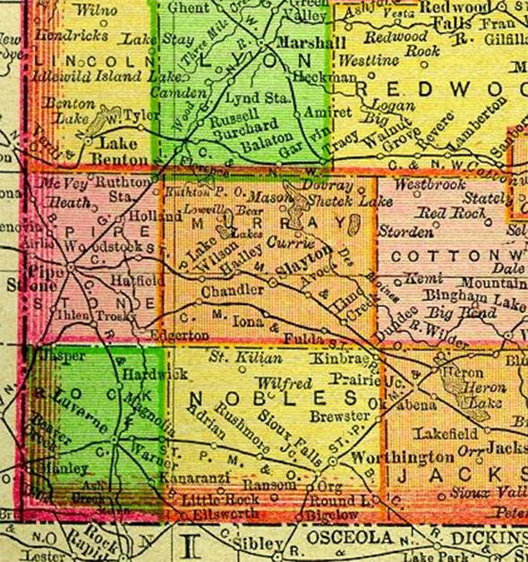
Murray County is a county located in the state of Minnesota, United States. As of 2000, the population was 9,165. Its county seat is Slayton.

During the 1880s there was a "war" to decide whether Currie or Slayton would be the county seat.[2] In the history of record keeping, Minnesota has been struck by two F-5 tornadoes and one occurred in Murray County: the Chandler Tornado (June 16, 1992) and one in neighboring Lyon County  - the Tracy Tornado (June 13, 1968).

According to the U.S. Census Bureau, the county has a total area of 720 square miles (1,864 kmē), of which 704 square miles (1,824 kmē) is land and 15 square miles (39 kmē) (2.10%) is water. The Mississippi-Missouri watershed divide runs through the western part of the county, near Chandler, along what is locally known as Buffalo Ridge.

Official Murray County website

Location of Murray County Minnesota


Murray County Communities
Avoca Dovray Iona
Chandler Fulda Lake Wilson
Currie Hadley Slayton


Minnesota State Highway Map

Minnesota State Highway Map of the Murray County Minnesota area


1895 Map of Murray County

1895 Map of Murray County Minnesota


LakesnWoods.com   Home
Page   Contact Us   Privacy 


Đ 2004 Lakeweb1 Internet Services
All Rights Reserved