|
|
|
|
|
|
Navigation LakesnWoods.com
© 2004-2025 DCMA, Defamation, Copyright and Trademark Infingement Policy
|
|
||||||||||||||||||||||||||||||||||||||||||||||||||||||||||||||||||||||||||||||||||||||||||||||||||||||||||||||||||||||||||||||||||||||||||||||||||||||||||||||||||
 |
|
| Hampden Township | 1970 | 1980 | 1990 | 2000 | 2010 | 2000-2010 Change | |
|---|---|---|---|---|---|---|---|
| Actual | Percent | ||||||
| Population | 51 | 38 | -13 | -25.49 | |||
| Land Area (sq. mile) | 36.0 | 36.0 | 0 | 0.00 | |||
| Density (persons per sq. mile) | 1.4 | 1.1 | -0.3 | -25.49 | |||
| Housing Units | 26 | 23 | -3 | -11.54 | |||
| Households | 21 | 16 | -5 | -23.81 | |||
| Persons Per Household | 2.43 | 2.38 | -0.05 | -2.06 | |||
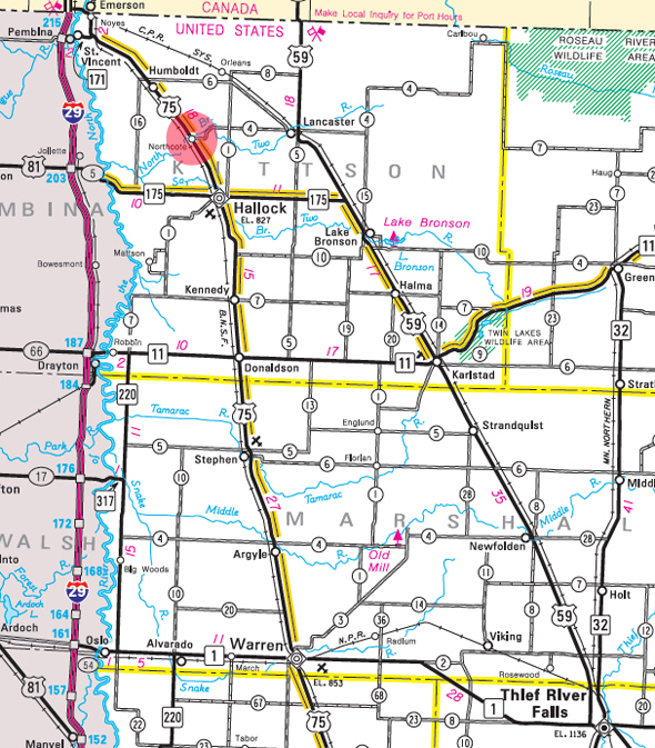
Hampden Township is a township in Kittson County, Minnesota, United States. Hampden Township was organized in 1879, and named for John Hampden, an English politician. According to the United States Census Bureau, the township has a total area of 36.0 square miles (93 km2), all of it land. The elevator is 797 feet (243 meters) above sea level.
From Wikipedia, the free encyclopedia.
As of the census of 2000, there were 51 people, 21 households, and 14 families residing in the township. The population density was 1.4 people per square mile (0.5/km²). There were 26 housing units at an average density of 0.7/sq mi (0.3/km²). The racial makeup of the township was 100.00% White.
There were 21 households out of which 42.9% had children under the age of 18 living with them, 66.7% were married couples living together, 4.8% had a female householder with no husband present, and 28.6% were non-families. 28.6% of all households were made up of individuals and 19.0% had someone living alone who was 65 years of age or older. The average household size was 2.43 and the average family size was 3.00.
In the township the population was spread out with 29.4% under the age of 18, 2.0% from 18 to 24, 33.3% from 25 to 44, 19.6% from 45 to 64, and 15.7% who were 65 years of age or older. The median age was 37 years. For every 100 females there were 112.5 males. For every 100 females age 18 and over, there were 100.0 males.
The median income for a household in the township was $49,375, and the median income for a family was $66,250. Males had a median income of $32,000 versus $28,750 for females. The per capita income for the township was $28,822. None of the population and none of the families were below the poverty line.
Visit The
Minnesota History Shop! |
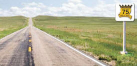
The community is located along U.S. Highway 75 near Kittson County Road 4. Nearby places include Hallock and Lancaster. The North Branch of Two Rivers flows nearby. It was founded as a center of commerce for the surrounding farms and has slowly dwindled in population over the years. There are no records that the settlement was ever incorporated into a village. The settlement was in the heart of a great farming area.
Courtesy Minnesota Historical Society
|
|
| Hampden Township Hallock, MN 56728 |
|||
| Title | Term Ends | Name & Address | Phone: |
| Clerk | 12/31/2024 |
Lee Pemberton PO Box 655 Hallock MN 56728 |
(218) 843-2074 |
| Treasurer | 12/31/2022 |
William Moore, Jr 1818 280th Street Hallock MN 56728 |
(218) 843-2874 |
| Supervisor | 12/31/2022 |
James Younggren 2174 280th Street Hallock MN 56728 |
(218) 843-2026 |
| Supervisor | 12/31/2022 |
Eric Younggren 2041 308th Street Hallock MN 56728 |
(218) 843-2024 |
| Supervisor | 12/31/2024 |
Scott Slusar 2258 County Road 4 Hallock MN 56728 |
(218) 843-2174 |
|
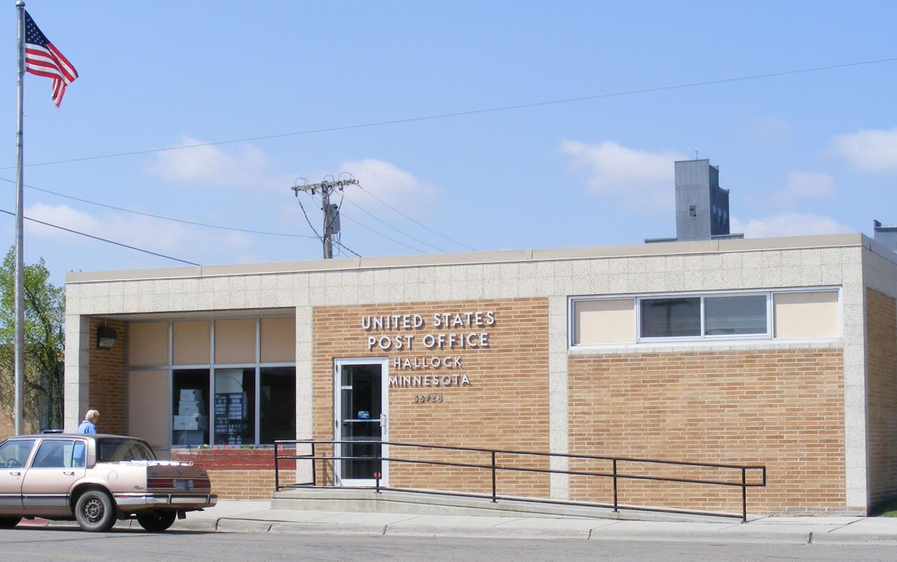
US Post Office
105 S Birch Avenue Hallock, MN 56728-9998 Phone: (218) 843-2534 Toll Free: (800) ASK-USPS Regular Business Hours: Week Days 9:00 am - 12:30 pm 1:30 pm - 4:30 pm Saturday 9:30 am - 10:30 am  
|
 |
| Utility Type | Utility Name | Utility Phone |
| Electricity | Otter Tail Power Company | (218) 739-8200 |
| Natural Gas | n/a | n/a |
| Wastewater | n/a | n/a |
| Water | n/a | n/a |
| Telephone | Centurylink Communications | (877) 837-5738 |
| Cable TV | n/a | n/a |
| Employer | Products/Services | Employees |
| n/a | ||
| none |
|
King of Trails Scenic
Byway Drive U.S. Highway 75 the King of Trails from Canada to Mexico. This trail was previously utilized by Native Americans and settlers and was designated by the State of Minnesota as "The Historic King of Trails" in 2001. Efforts include an annual marketplace day where communities along Hwy. 75 invite vendors to openly market their goods at select locations. |
 |
| Lake Name | Size (acres) |
Lake info | Lake Map | Rec Map | Topo Map |
|---|---|---|---|---|---|
| Bronson | 289 |
|
|
|
|
| none |
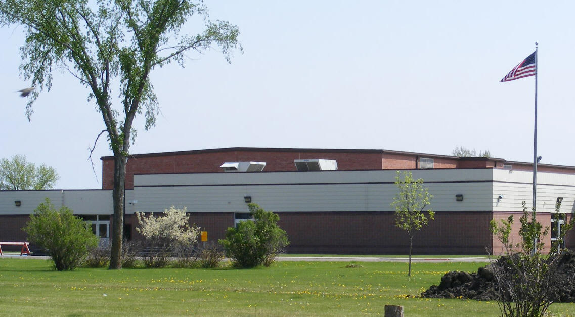
| Humboldt - St. Vincent School closed in 1991 and was demolished in
2000; students now attend school in Hallock |
|
Kittson Central Schools Grades: PK-12 |
 |
| none |
| none |
| none |
| none |
|
|
|
|
© 2004-2025 LakesnWoods LLC All Rights Reserved |
|
|
|
||