Click for Mankato, Minnesota Forecast

Navigation

LakesnWoods.com
  Home
Page
  Contact Us
  Privacy


Uffda Minnesota License plate Cap
(design available on over 100 different items!)

LakesnWoods.com Store


Greetings from Minnesota Large Mug
(design available on over 100 different items!)

LakesnWoods.com Store


Blue Earth County Minnesota


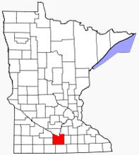
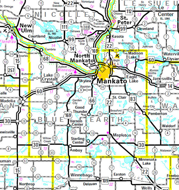
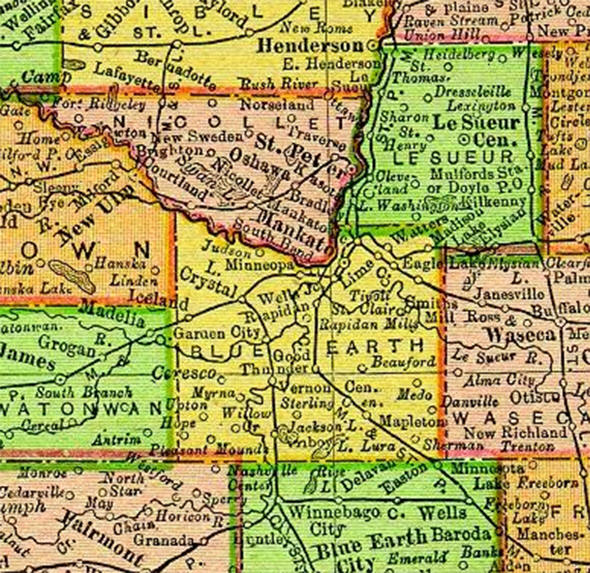
Blue Earth County is a county located in the U.S. state of Minnesota. As of 2000, the population was 55,941. Its county seat is Mankato. Blue Earth County is part of the Mankato–North Mankato Metropolitan Statistical Area.

According to the U.S. Census Bureau, the county has a total area of 766 square miles (1,984 km˛), of which 752 square miles (1,949 km˛) is land and 14 square miles (35 km˛) (1.77%) is water. The Le Sueur River flows through a part of the county. The land surface is relatively flat with over 30 lakes in the county. In the northeastern part of the county there are many forests that are called big woods. The rivers that flow out of the northeastern part are surrounded by these big woods. Most of the county is grassland prairie but scattered parts of it are wet prairie. Some spots that surround the rivers are oak openings and barren brushland.

Official Blue Earth County website

Location of Blue Earth County Minnesota


Blue Earth County Communities
Amboy Madison Lake North Mankato Vernon Center
Eagle Lake Mankato Pemberton  
Good Thunder Mapleton Skyline  
Lake Crystal Minnesota Lake St. Clair  


Minnesota State Highway Map

Minnesota State Highway Map of the Blue Earth County Minnesota area


1895 Map of Blue Earth County

1895 Map of Blue Earth County Minnesota


LakesnWoods.com   Home
Page   Contact Us   Privacy


© 2004 Lakeweb1 Internet Services
All Rights Reserved